Map of the Falkland Islands

by: jaramillosergio

This is a map of the island nation of Malta, which is located in the Mediterranean Sea. It features a detailed depiction of the country's coastline and several islands within its territory. The map also includes a compass, indicating the directional orientation for navigating the area. Additionally, there are two small figures on the map, possibly representing people or other objects related to the island nation.

This is a completely free image Map of the Falkland Islands that you can download, post, and use for any purpose.

Tags: argentina, escolares, mapas, mapas escolares argentina, map, para descargar, the provinces, islands, malvina

Image License: CC0 No Rights Reserved
You can copy, modify, distribute and perform the work, even for commercial purposes, all without asking permission, and at no cost. This picture is completely free.

  Download Drawing as SVG File

SVG files are the highest quality rendering of this drawing, and can be used in recent versions of Microsoft Word, PowerPoint, and other office tools.

  Download as PNG File 595px x 842px

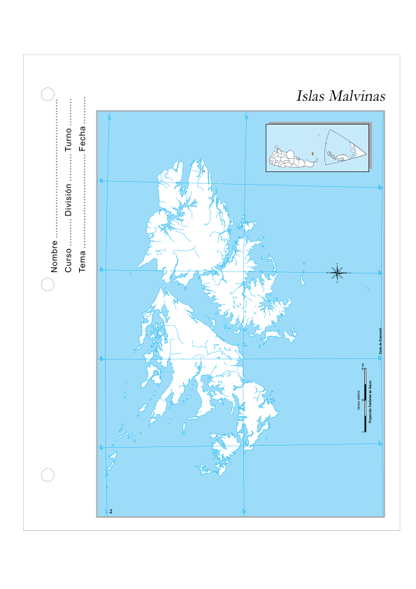
PNG files are the most compatible. Use this on your web page, in your presentation, or in a printed document.

Similar Clip Art Images
Flag Map
2  
Turkey Map
2  

Frequently Asked Questions

Is the Map of the Falkland Islands clip art free to use?

Yes, this clipart is completely free to use, including for commercial purposes. You may use, distribute, or even sell this image without paying any royalties nor giving any credit. Because there is no fee attached to using the image, it's perfect for use in advertising and marketing materials, classrooms, and as part of your product.

Can I use this Map of the Falkland Islands clip art in Microsoft Office?

Yes, this clip art is 100% compatible with Microsoft Office including Microsoft Word and PowerPoint. You can download this graphic as a high quality SVG file that scales to any size without becoming blurry. The SVG can then be imported into your office software whether that be Microsoft Office, Apple Pages, or LibreOffice.

Can I print the Map of the Falkland Islands clip art?

Yes, this picture is suitable for printing, and will look great on posters, flyers, and handouts. These images scale without loss of quality, and will even look great on large-format posters and in high DPI.

Can I use Map of the Falkland Islands on my website

Yes, you may download and use Map of the Falkland Islands pic on your website. This image is compatible with Squarespace, Wix, WordPress, Webflow, and all the popular website publishing suites that allow for you to post pics.

About | Upload | Privacy Policy | Terms of Service
Copyright © 2024 WordMint LLC. All Rights Reserved.