Tags: argentina, escolares, mapas, mapas escolares argentina, map, para descargar, the provinces, escolare, mapa, the province
Image License: CC0 No Rights Reserved
You can copy, modify, distribute and perform the work, even for commercial purposes, all without asking permission, and at no cost. This picture is completely free.
Mapas Escolares Argentina America
by: jaramillosergio
This is a map of the world, featuring various countries and continents. It displays a detailed view of South America, with Argentina being one of the prominent countries shown on the map. The map also includes other countries such as Brazil, Uruguay, Paraguay, Bolivia, Peru, Ecuador, Colombia, Venezuela, Guyana, Suriname, French Guiana, and the Falkland Islands. The map is accompanied by a key that provides information about each country or region, making it easy for users to identify specific locations. The map also features a compass in the upper left corner, which can be helpful for navigation purposes. Overall, this map offers an excellent visual representation of South America and its neighboring countries.
This is a completely free image Mapas Escolares Argentina America that you can download, post, and use for any purpose.
SVG files are the highest quality rendering of this drawing, and can be used in recent versions of Microsoft Word, PowerPoint, and other office tools.
Download as PNG File 842px x 1191px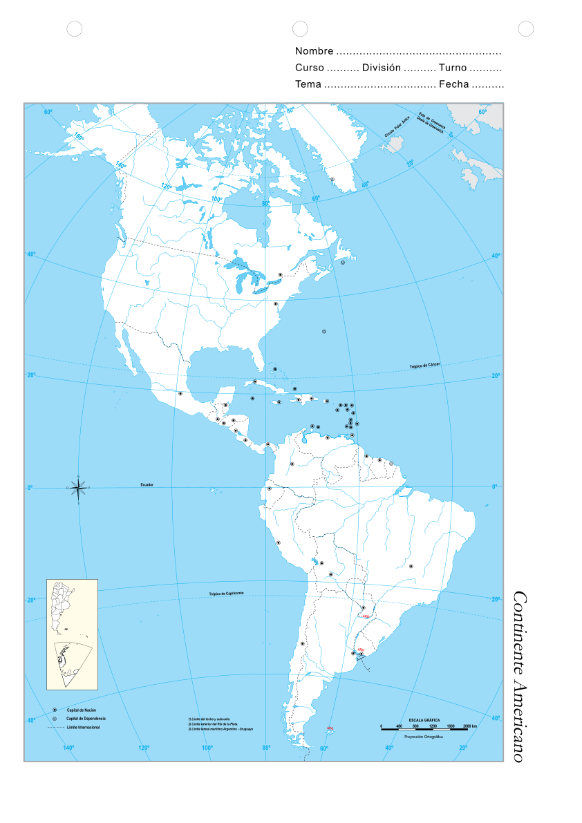
PNG files are the most compatible. Use this on your web page, in your presentation, or in a printed document.
Download as Word DocumentA Word document (docx) containing just the image. Ready to use in Microsoft Word, or LibreOffice.
Tags: argentina, escolares, mapas, mapas escolares argentina, map, para descargar, the provinces, escolare, mapa, the province
Image License: CC0 No Rights Reserved
You can copy, modify, distribute and perform the work, even for commercial purposes, all without asking permission, and at no cost. This picture is completely free.