Tags: antarctica, argentina, escolares, mapas, map, para descargar, the provinces, escolare, mapa, the province
Image License: CC0 No Rights Reserved
You can copy, modify, distribute and perform the work, even for commercial purposes, all without asking permission, and at no cost. This picture is completely free.
Antartida Argentina Map
by: jaramillosergio
This is a map of Argentina, showcasing the country's 23 provinces and the Autonomous City of Buenos Aires. It features a compass in the upper left corner, indicating directions for navigation. The map is divided into different regions, with each region labeled to provide clear information about their locations within the country. This detailed map can be used for various purposes such as travel planning or studying geographical features of Argentina.
This is a completely free image Antartida Argentina Map that you can download, post, and use for any purpose.
SVG files are the highest quality rendering of this drawing, and can be used in recent versions of Microsoft Word, PowerPoint, and other office tools.
Download as PNG File 595px x 842px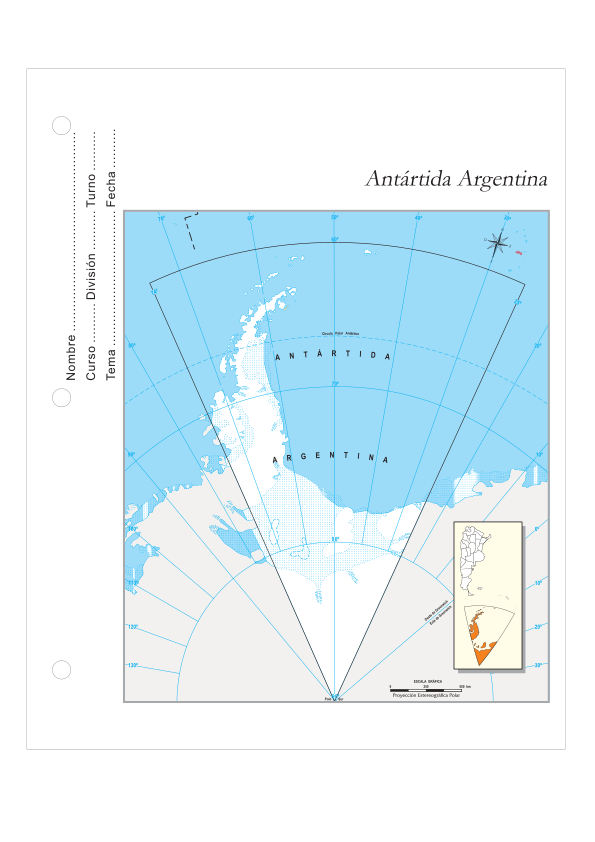
PNG files are the most compatible. Use this on your web page, in your presentation, or in a printed document.
Download as Word DocumentA Word document (docx) containing just the image. Ready to use in Microsoft Word, or LibreOffice.
Tags: antarctica, argentina, escolares, mapas, map, para descargar, the provinces, escolare, mapa, the province
Image License: CC0 No Rights Reserved
You can copy, modify, distribute and perform the work, even for commercial purposes, all without asking permission, and at no cost. This picture is completely free.