Tags: argentina, escolares, mapas, mapas escolares argentina, map, para descargar, the provinces, escolare, mapa, the province
Image License: CC0 No Rights Reserved
You can copy, modify, distribute and perform the work, even for commercial purposes, all without asking permission, and at no cost. This picture is completely free.
Mapas Escolares Argentina Buenos Aires
by: jaramillosergio
This is a map of Argentina, showing the country's 23 provinces and the Autonomous City of Buenos Aires. It is divided into two sections: one section shows the provinces in detail, while the other section displays a larger view of the entire country. The map also includes a compass, which helps to orient the viewer and navigate through the different regions. This detailed map provides an excellent overview of Argentina's geography and can be used for various purposes such as travel planning or studying the country's political boundaries.
This is a completely free image Mapas Escolares Argentina Buenos Aires that you can download, post, and use for any purpose.
SVG files are the highest quality rendering of this drawing, and can be used in recent versions of Microsoft Word, PowerPoint, and other office tools.
Download as PNG File 624px x 737px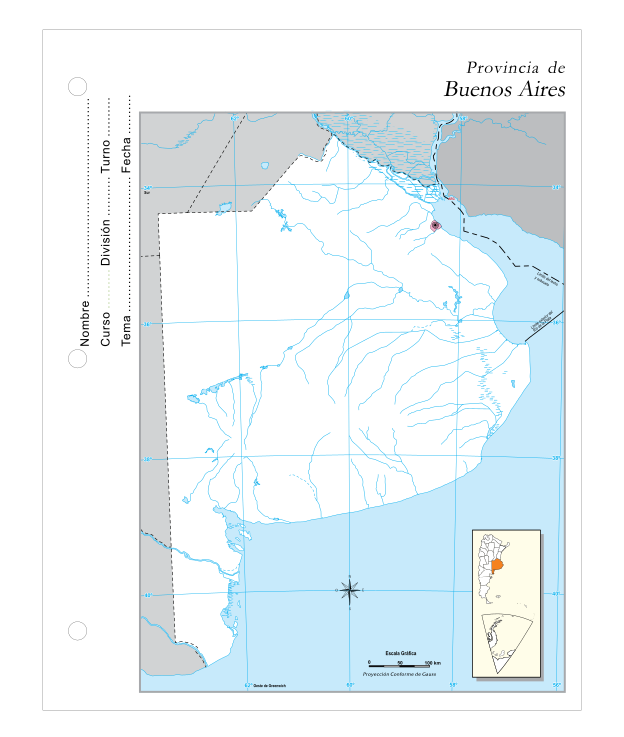
PNG files are the most compatible. Use this on your web page, in your presentation, or in a printed document.
Download as Word DocumentA Word document (docx) containing just the image. Ready to use in Microsoft Word, or LibreOffice.
Tags: argentina, escolares, mapas, mapas escolares argentina, map, para descargar, the provinces, escolare, mapa, the province
Image License: CC0 No Rights Reserved
You can copy, modify, distribute and perform the work, even for commercial purposes, all without asking permission, and at no cost. This picture is completely free.