Inverse Tiled Wireframe World Map Minus Antarctica Black

by: GDJ

This is a black and white photo of the world map, with various countries visible. The map is quite detailed, showing the continents and their borders clearly. The countries are spread across the globe, from North America to Europe, Asia, Africa, and South America. The map also includes the oceans, such as the Atlantic Ocean, Pacific Ocean, Indian Ocean, and Arctic Ocean. Overall, it is a comprehensive representation of the world's geography.

This is a completely free image Inverse Tiled Wireframe World Map Minus Antarctica Black that you can download, post, and use for any purpose.

Tags: world, map

Image License: CC0 No Rights Reserved
You can copy, modify, distribute and perform the work, even for commercial purposes, all without asking permission, and at no cost. This picture is completely free.

  Download Drawing as SVG File

SVG files are the highest quality rendering of this drawing, and can be used in recent versions of Microsoft Word, PowerPoint, and other office tools.

  Download as PNG File 2560px x 1600px

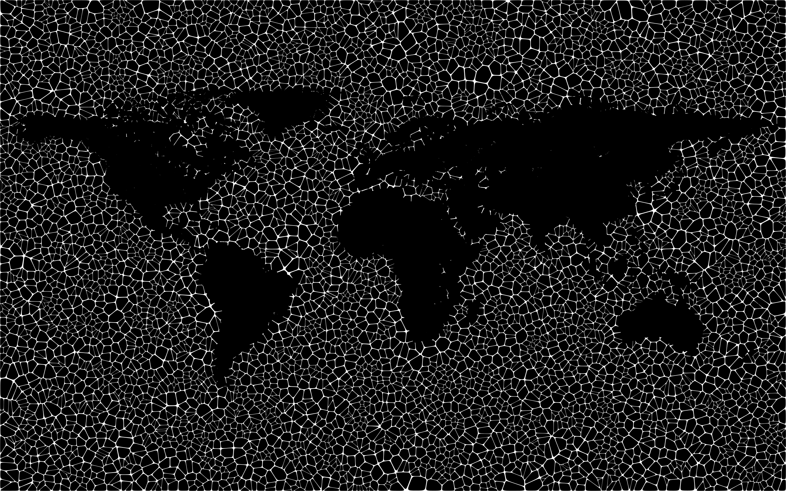
PNG files are the most compatible. Use this on your web page, in your presentation, or in a printed document.

Similar Clip Art Images
Blue Earth
4  
World Map
7  
Earth Globe
29  
Globe
9  
Globe
2  
Earth
2  
World Map
2  
World Map
4  
Earth
4  

Frequently Asked Questions

Is the Inverse Tiled Wireframe World Map Minus Antarctica Black clip art free to use?

Yes, this clipart is completely free to use, including for commercial purposes. You may use, distribute, or even sell this image without paying any royalties nor giving any credit. Because there is no fee attached to using the image, it's perfect for use in advertising and marketing materials, classrooms, and as part of your product.

Can I use this Inverse Tiled Wireframe World Map Minus Antarctica Black clip art in Microsoft Office?

Yes, this clip art is 100% compatible with Microsoft Office including Microsoft Word and PowerPoint. You can download this graphic as a high quality SVG file that scales to any size without becoming blurry. The SVG can then be imported into your office software whether that be Microsoft Office, Apple Pages, or LibreOffice.

Can I print the Inverse Tiled Wireframe World Map Minus Antarctica Black clip art?

Yes, this picture is suitable for printing, and will look great on posters, flyers, and handouts. These images scale without loss of quality, and will even look great on large-format posters and in high DPI.

Can I use Inverse Tiled Wireframe World Map Minus Antarctica Black on my website

Yes, you may download and use Inverse Tiled Wireframe World Map Minus Antarctica Black pic on your website. This image is compatible with Squarespace, Wix, WordPress, Webflow, and all the popular website publishing suites that allow for you to post pics.

About | Upload | Privacy Policy | Terms of Service
Copyright © 2024 WordMint LLC. All Rights Reserved.