Tags: argentina, escolares, mapas, mapas escolares argentina, map, para descargar, the provinces, escolare, mapa, the province
Image License: CC0 No Rights Reserved
You can copy, modify, distribute and perform the work, even for commercial purposes, all without asking permission, and at no cost. This picture is completely free.
Mapas Escolares Argentina Bicontinental
by: jaramillosergio
This is a map of the world, featuring various countries and their borders. It appears to be an old map, possibly from the 19th century, as indicated by its vintage appearance. The map covers a large portion of the globe, including both land masses and oceans. There are several countries visible on the map, with some located near the top, middle, and bottom sections of the image. Additionally, there is a compass in the upper right corner of the map, which can be used to navigate through the various territories depicted.
This is a completely free image Mapas Escolares Argentina Bicontinental that you can download, post, and use for any purpose.
SVG files are the highest quality rendering of this drawing, and can be used in recent versions of Microsoft Word, PowerPoint, and other office tools.
Download as PNG File 842px x 1191px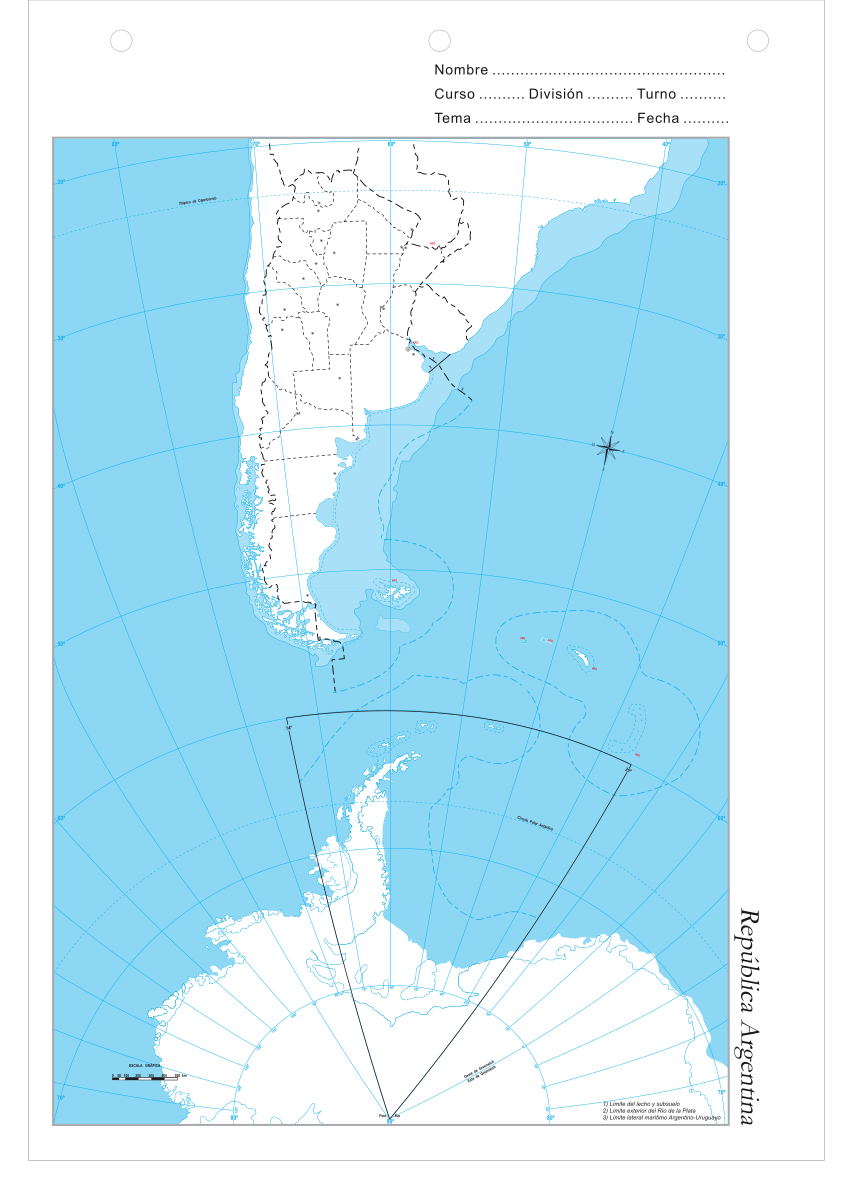
PNG files are the most compatible. Use this on your web page, in your presentation, or in a printed document.
Download as Word DocumentA Word document (docx) containing just the image. Ready to use in Microsoft Word, or LibreOffice.
Tags: argentina, escolares, mapas, mapas escolares argentina, map, para descargar, the provinces, escolare, mapa, the province
Image License: CC0 No Rights Reserved
You can copy, modify, distribute and perform the work, even for commercial purposes, all without asking permission, and at no cost. This picture is completely free.