Map of South Korea and North Korea

by: qubodup

This features a map of the Korean Peninsula, with the country divided into two distinct colors. The northern part of the peninsula is colored red, while the southern part is blue. This color-coded representation highlights the political and geographical boundaries between North Korea and South Korea. The map also includes several smaller countries surrounding the Korean Peninsula, such as China, Japan, and Russia. These neighboring countries are depicted in various shades of green, providing a clear visual representation of their locations relative to the main focus of the image.

This is a completely free image Map of South Korea and North Korea that you can download, post, and use for any purpose.

Tags: asia, asian, blue, flat, jeju, korea, korean, map, north, red, simple, south, asium

Image License: CC0 No Rights Reserved
You can copy, modify, distribute and perform the work, even for commercial purposes, all without asking permission, and at no cost. This picture is completely free.

  Download Drawing as SVG File

SVG files are the highest quality rendering of this drawing, and can be used in recent versions of Microsoft Word, PowerPoint, and other office tools.

  Download as PNG File 1495px x 2780px

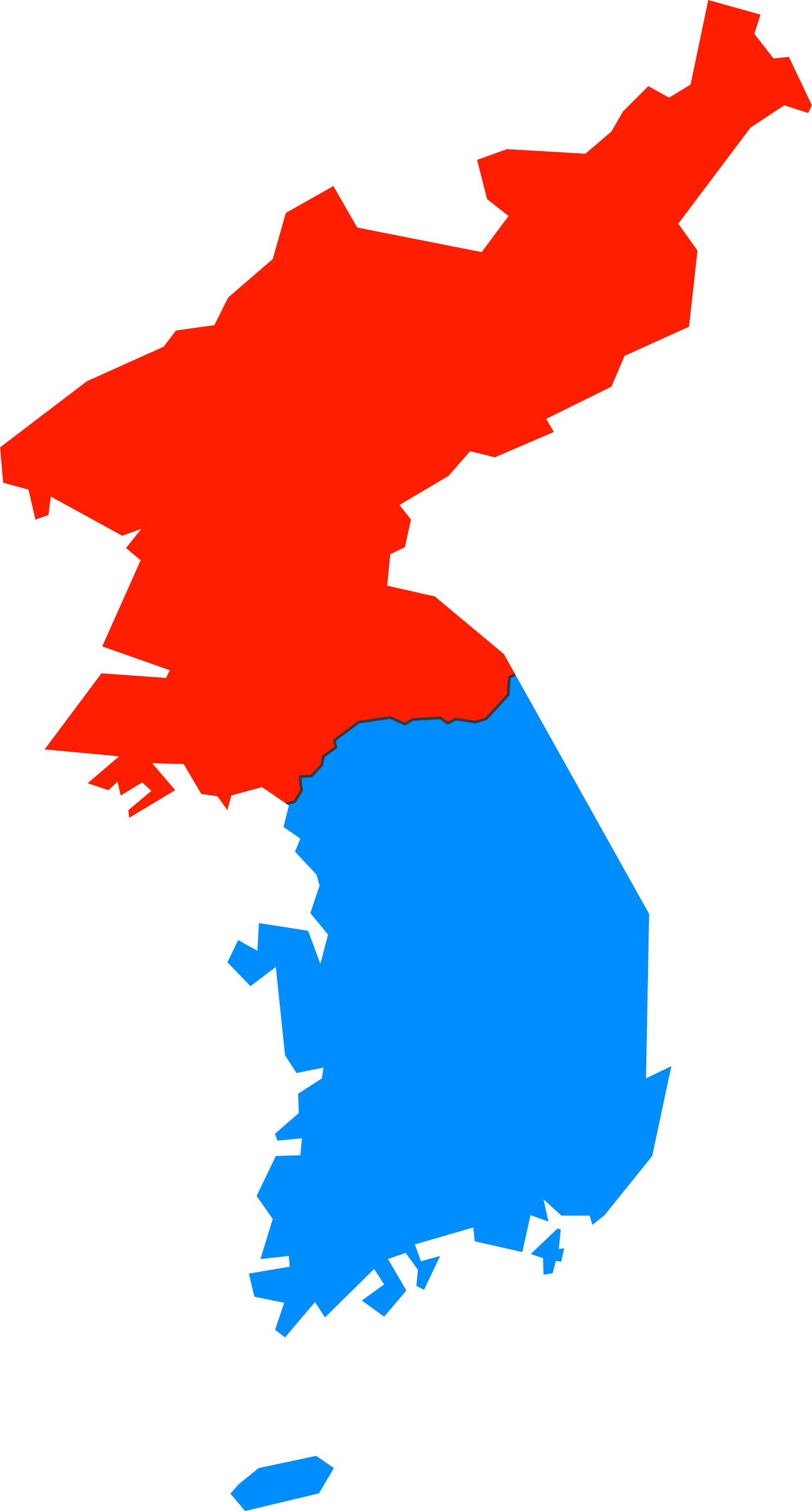
PNG files are the most compatible. Use this on your web page, in your presentation, or in a printed document.

Similar Clip Art Images
Rocket
3  
World Map
7  
Earth Globe
29  
Globe
9  
Africa Map
3  

Frequently Asked Questions

Is the Map of South Korea and North Korea clip art free to use?

Yes, this clipart is completely free to use, including for commercial purposes. You may use, distribute, or even sell this image without paying any royalties nor giving any credit. Because there is no fee attached to using the image, it's perfect for use in advertising and marketing materials, classrooms, and as part of your product.

Can I use this Map of South Korea and North Korea clip art in Microsoft Office?

Yes, this clip art is 100% compatible with Microsoft Office including Microsoft Word and PowerPoint. You can download this graphic as a high quality SVG file that scales to any size without becoming blurry. The SVG can then be imported into your office software whether that be Microsoft Office, Apple Pages, or LibreOffice.

Can I print the Map of South Korea and North Korea clip art?

Yes, this picture is suitable for printing, and will look great on posters, flyers, and handouts. These images scale without loss of quality, and will even look great on large-format posters and in high DPI.

Can I use Map of South Korea and North Korea on my website

Yes, you may download and use Map of South Korea and North Korea pic on your website. This image is compatible with Squarespace, Wix, WordPress, Webflow, and all the popular website publishing suites that allow for you to post pics.

About | Upload | Privacy Policy | Terms of Service
Copyright © 2024 WordMint LLC. All Rights Reserved.